Posted by
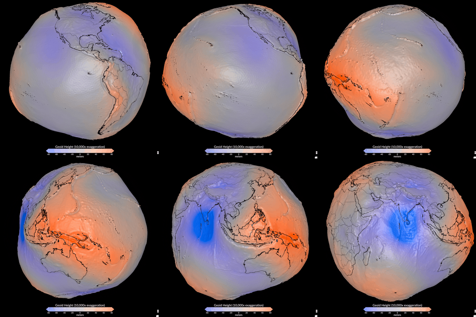
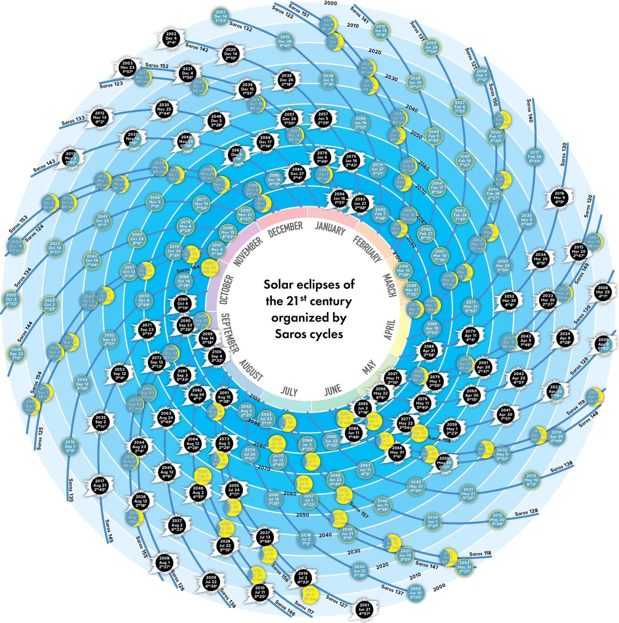
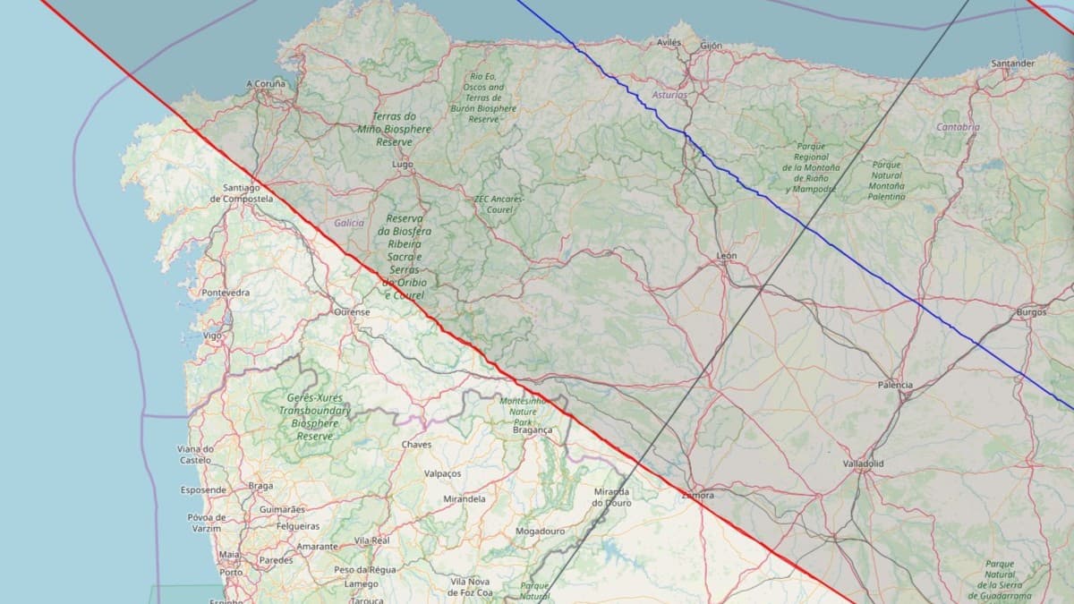
Some maps may incorrectly identify the boundaries of a solar eclipse's totality because they assume the Earth is a smooth surface.
Findings
Additional insights we found via Discover Magazine
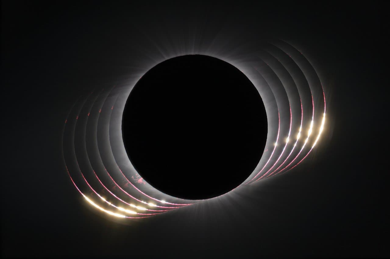
Accurate maps depicting the edge of where a total solar eclipse can be observed will feature uneven lines that account for Earth's topography, which can affect the angle from which a user views an eclipse and whether they can see the moon completely blocking the sun.
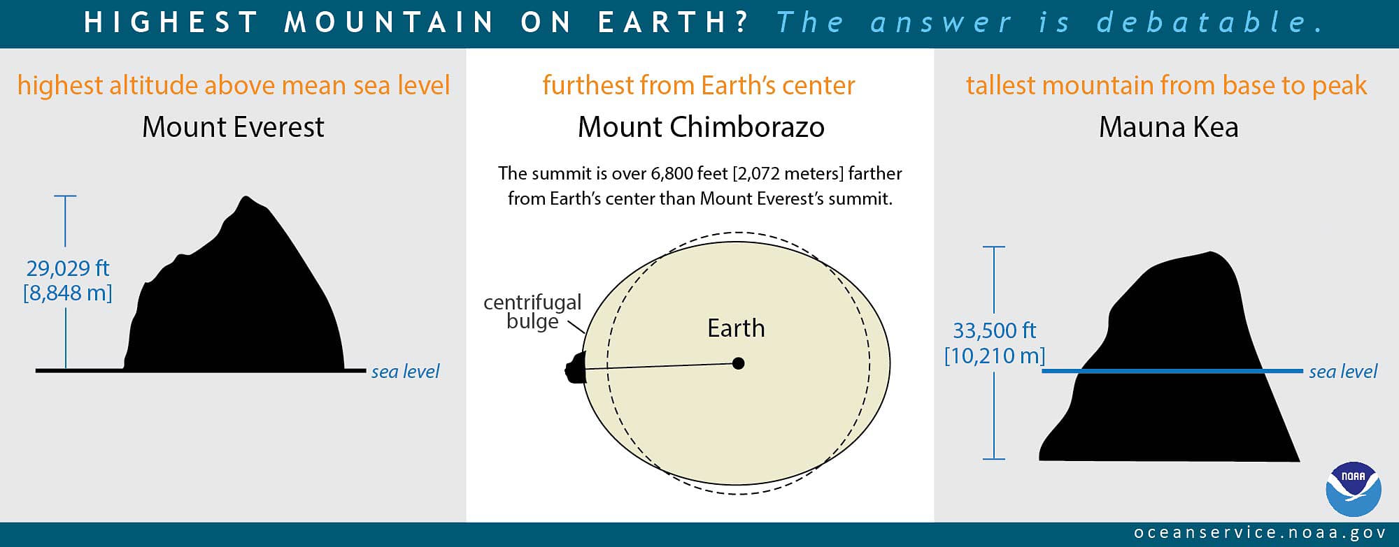
Being at higher altitudes brings viewers closer to the moon and lengthens the duration of the viewable solar eclipse, but even on Earth's tallest mountains, this change is only a small fraction of a second.
Similar Posts
Showing 1440 posts similar to “Some maps may incorrectly identify the boundaries of a solar eclipse's totality because they assume the Earth is a smooth surface.”
You've reached the end.