Posted by

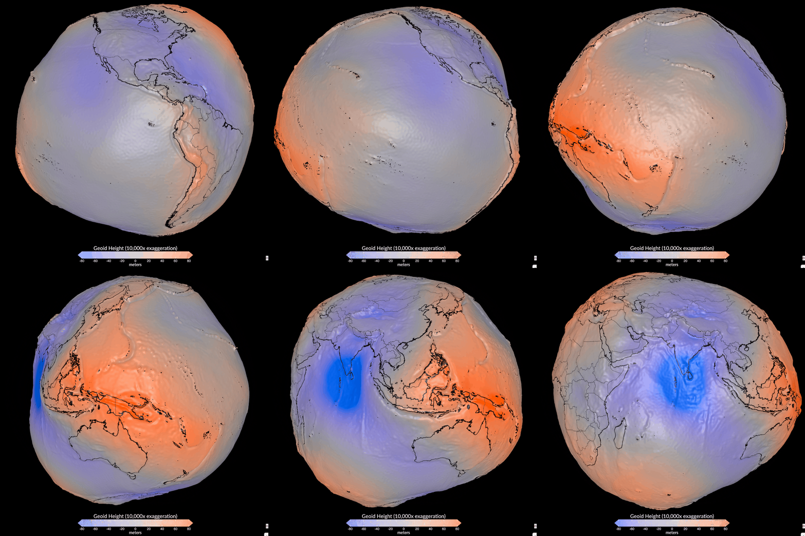
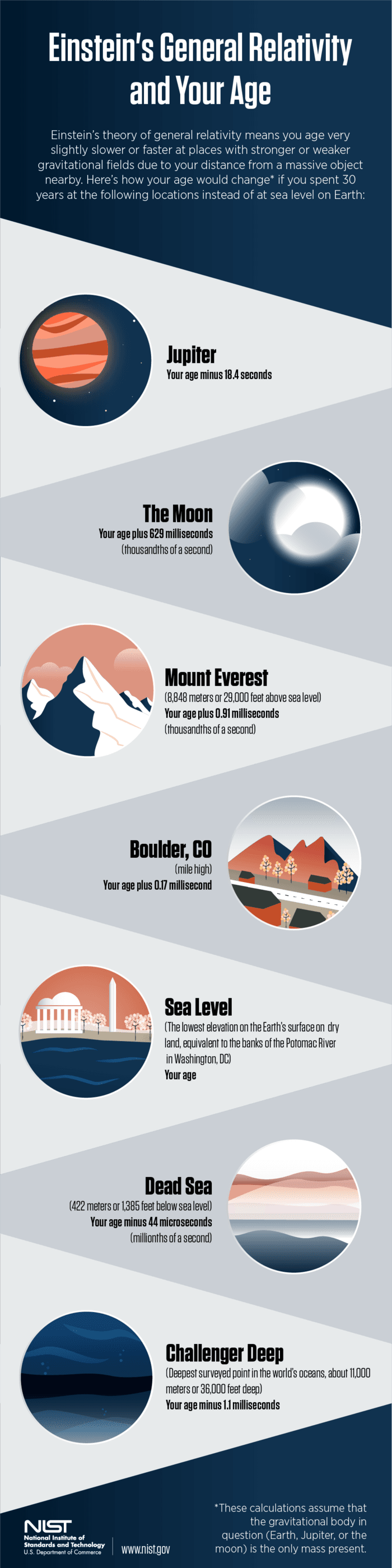
Using data from more than a billion observations taken by 19 satellites, the geoid visualizes Earth's gravitational field, which varies at different locations based on the distribution of matter.
Findings

Additional insights we found via Nautilus

  1. In the geoid visualization, fluctuations between Earth's ellipsoid model and its irregular features, such as mountains and valleys that alter the distribution of mass and thus the gravitational force felt locally, are exaggerated by a factor of 10,000 for greater visibility.

  2. Nonuniform distributions of mass in Earth's mantle, where material circulates in convection currents like bubbles in boiling water, also contribute to variations in the geoid's surface.

Similar Posts

Showing 1440 posts similar to Using data from more than a billion observations taken by 19 satellites, the geoid visualizes Earth's gravitational field, which varies at different locations based on the distribution of matter.
You've reached the end.