Posted by
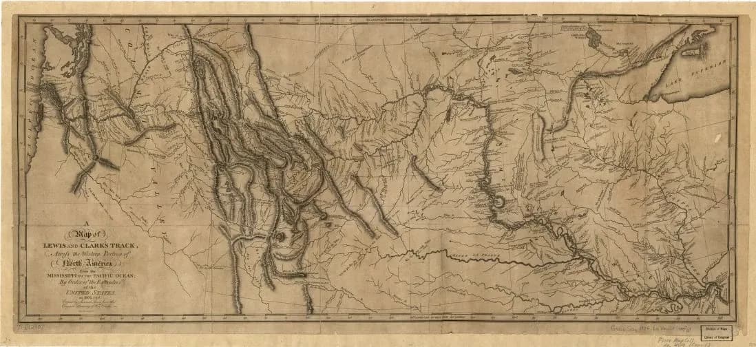
Clark's maps provided the first detailed record of the American West
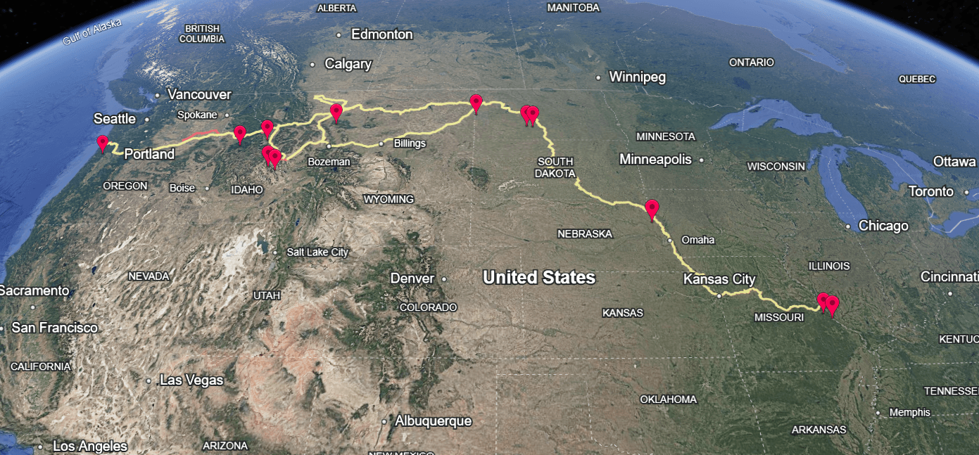
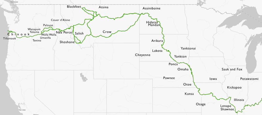
Covering over 8,000 miles, William Clark’s maps charted rivers, mountains, and tribal territories with remarkable accuracy. Equipped with sextants, compasses, telescopes, and more, Clark became an expert at surveying—requiring extensive celestial and topographical observations each day.

Similar Posts
Here’s what we found related to above. Click through to dive even deeper.
















You've reached the end.