Posted by
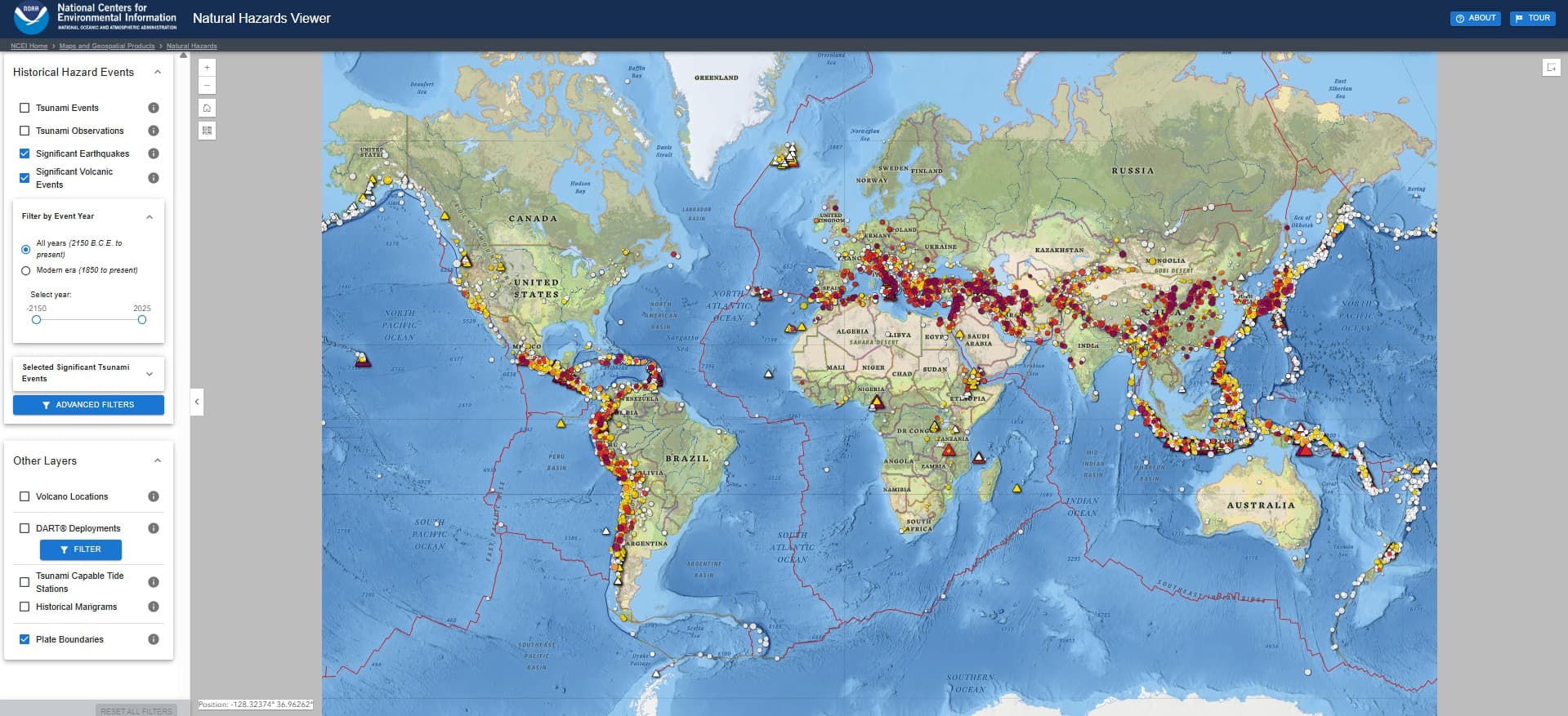
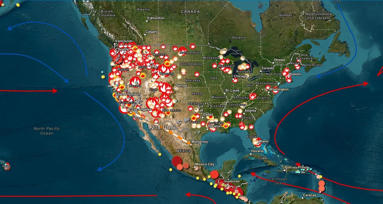
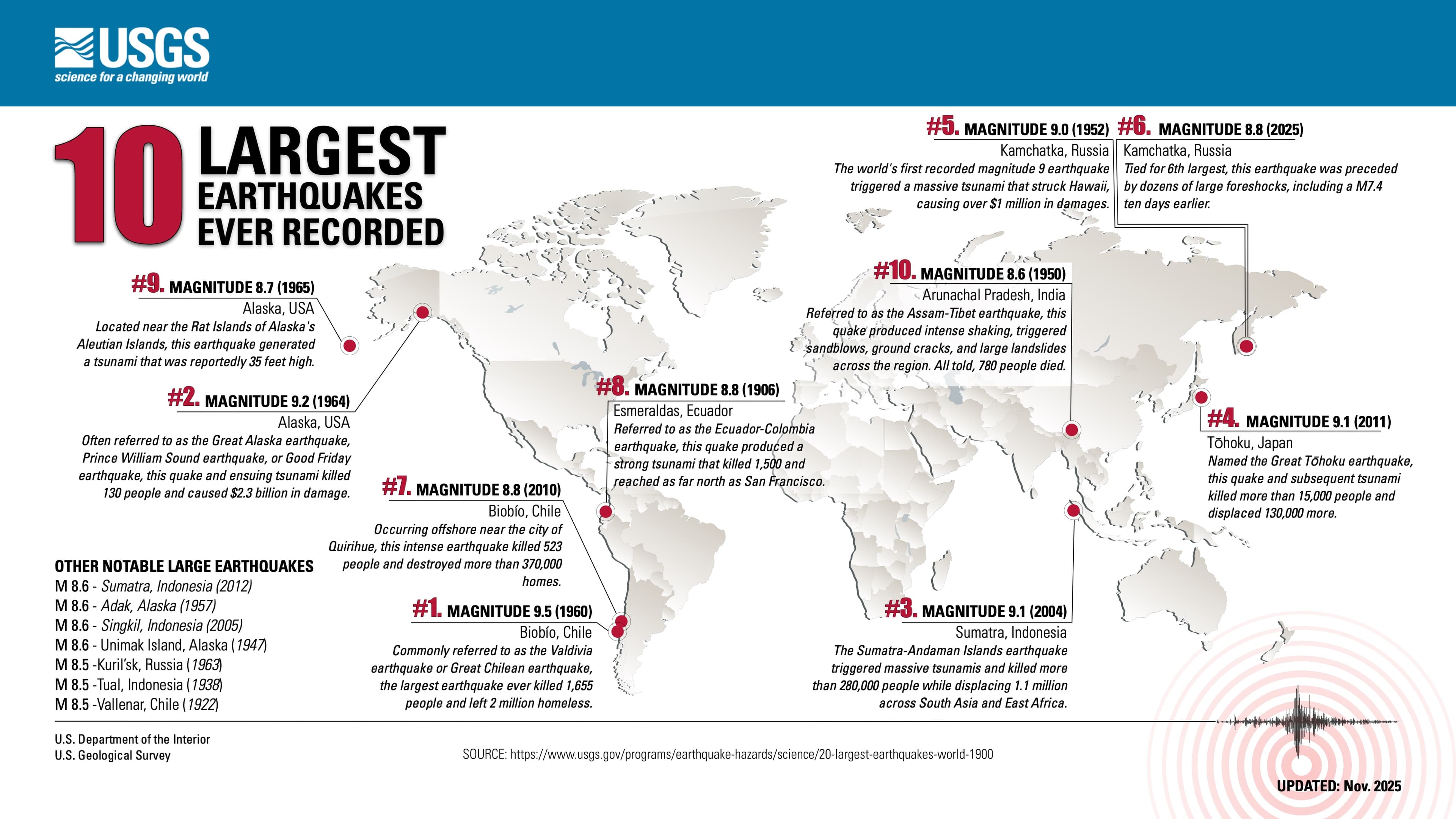
Explore an interactive map of volcanoes, earthquakes, and tsunamis from 2150 BCE to the present.
Findings
Additional insights we found via NOAA
The Natural Hazards Viewer includes advanced filters for various refinement methods, including volcano morphology, earthquake magnitude, tsunami height, deaths, and damage.
Similar Posts
Showing 1440 posts similar to “Explore an interactive map of volcanoes, earthquakes, and tsunamis from 2150 BCE to the present.”


You've reached the end.