Posted by

When GPS and sonar are unavailable, submarine navigation relies on a fiber-optic gyroscope to determine the vessel's orientation and an accelerometer to calculate distance traveled.

Findings

Additional insights we found via Veritasium

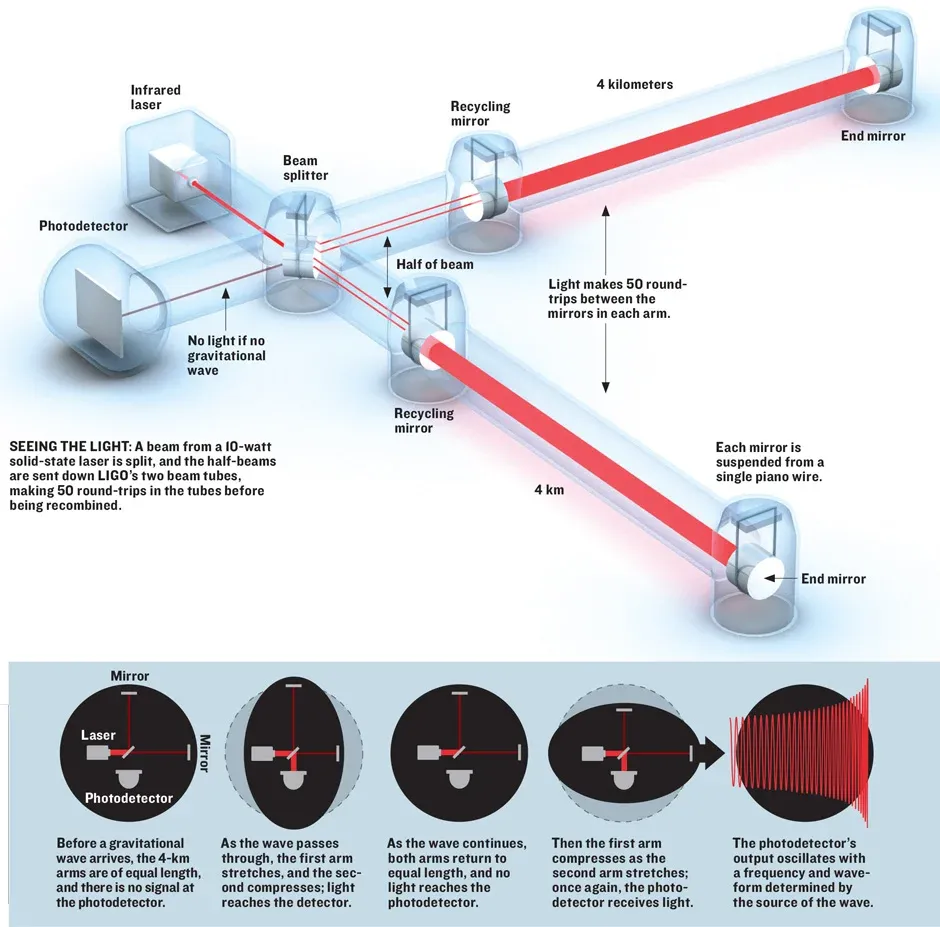
  1. Within submarines, fiber-optic gyroscopes send light around a coil in opposite directions before they interfere and produce a pattern, and this pattern changes based on the direction the watercraft is pointing because this changes where the beams meet in the coil.

  2. Just as speeding up in a car causes a rider to feel as if they are pushed into their seat, submarine accelerations produce tension or compression on naturally vibrating quartz beams within accelerometers and shift their vibration frequency, which can be measured and used to calculate the distance traveled.

  3. The Global Positioning System maps an object's location by transmitting radio waves between four or more satellites, but these radio waves cannot penetrate very far into water.

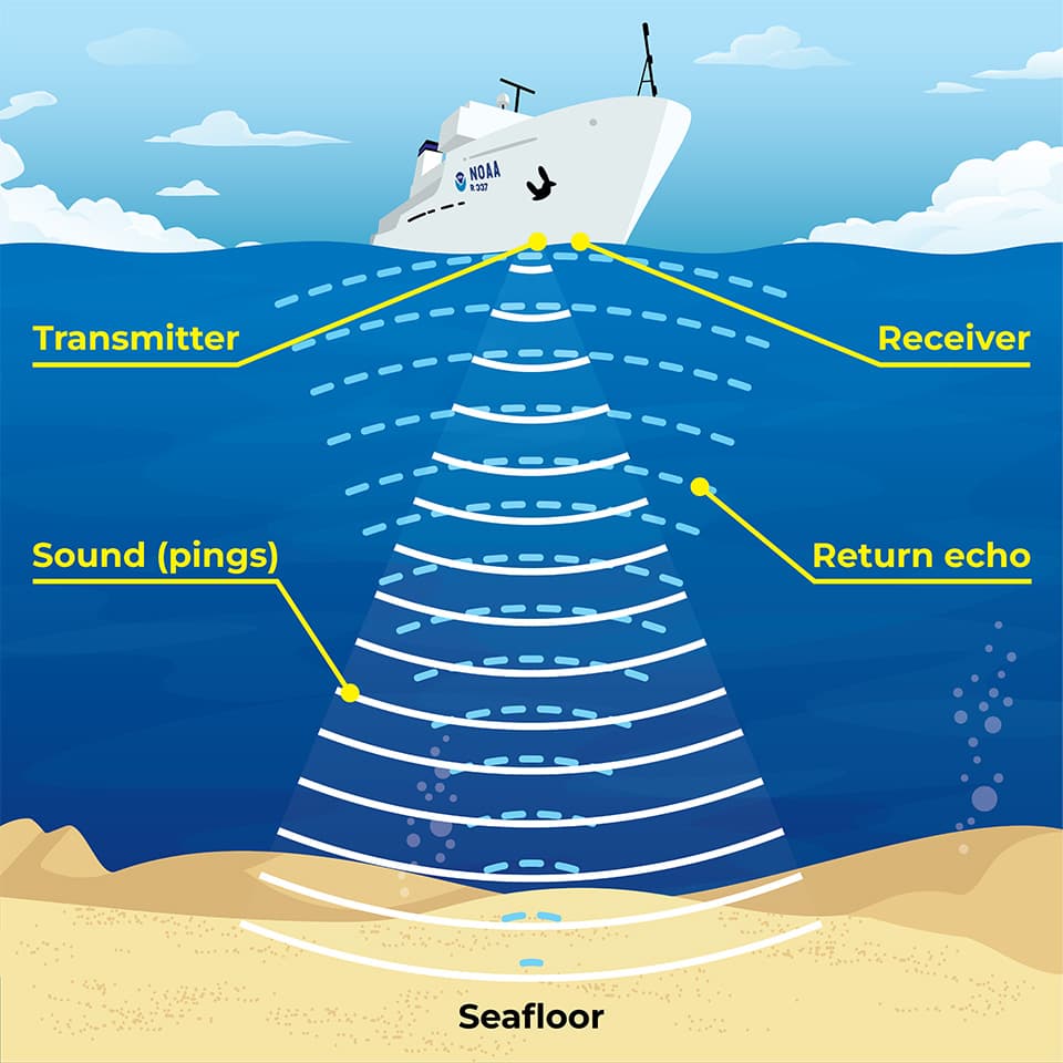
  4. Submarines can use sound navigation and ranging, or sonar, to determine their location by matching the identified surroundings with available underwater maps, but the system requires processing the time it takes for emitted sound to reflect off surfaces, and this sound can give away a submarine's position.

Similar Posts

Showing 1440 posts similar to When GPS and sonar are unavailable, submarine navigation relies on a fiber-optic gyroscope to determine the vessel's orientation and an accelerometer to calculate distance traveled.

You've reached the end.