Posted by
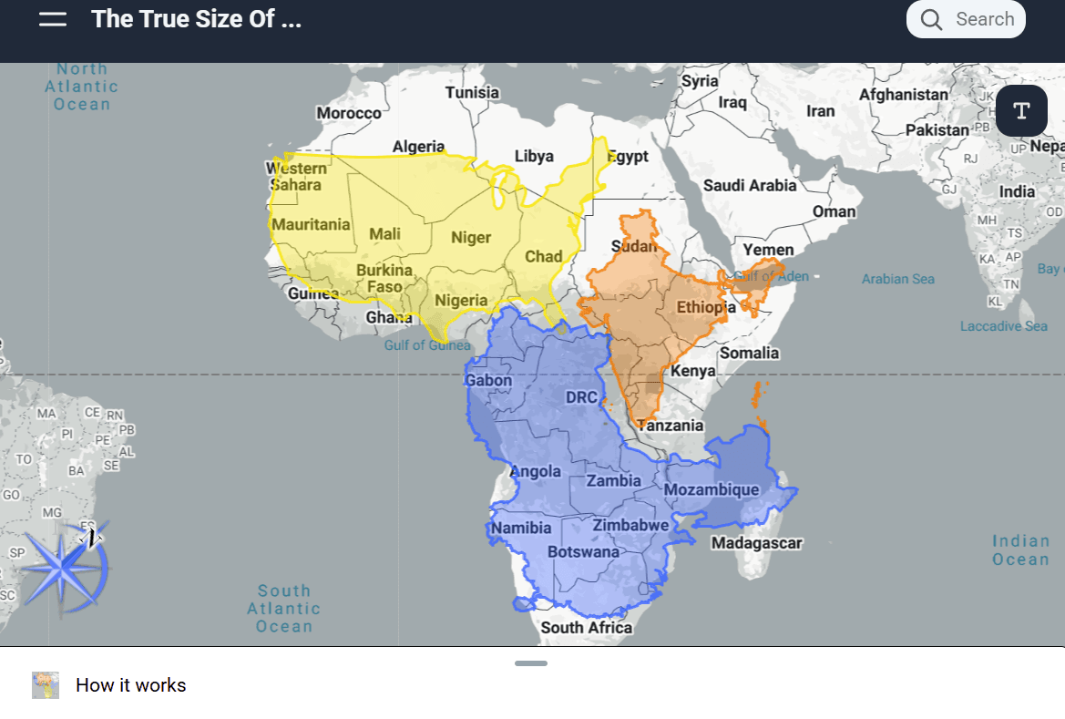
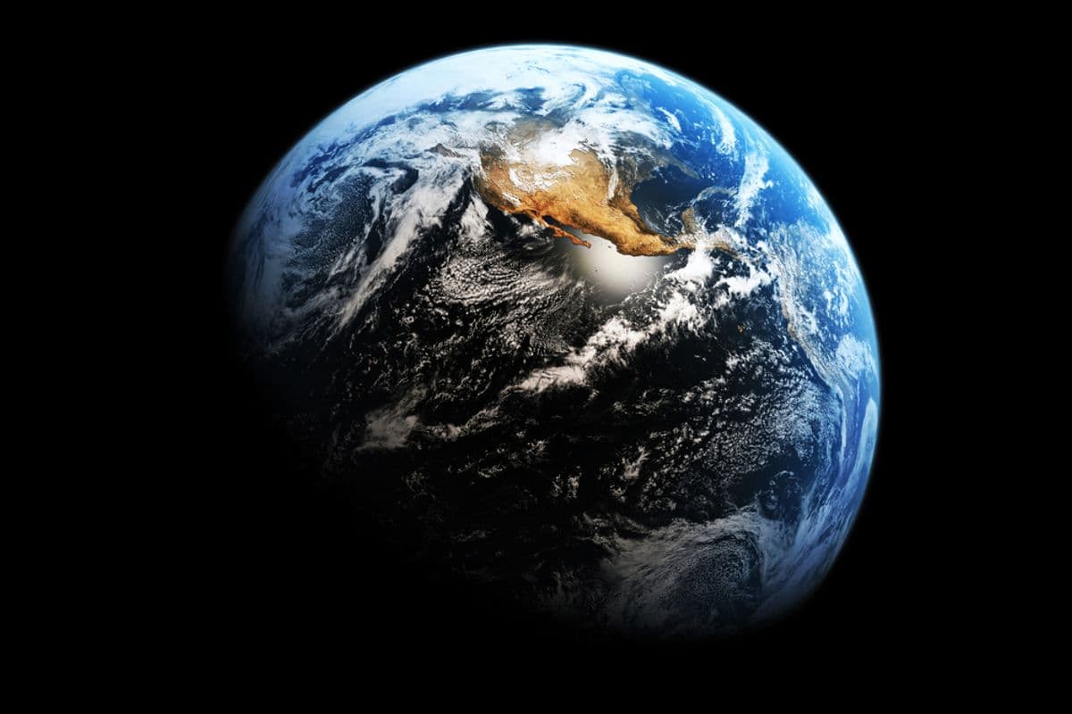
No map of the Earth is perfect because each introduces inaccuracies in the shape, size, or orientation of landmasses and oceans by trying to flatten the planet's curved surface.
Findings
Additional insights we found via TED-Ed
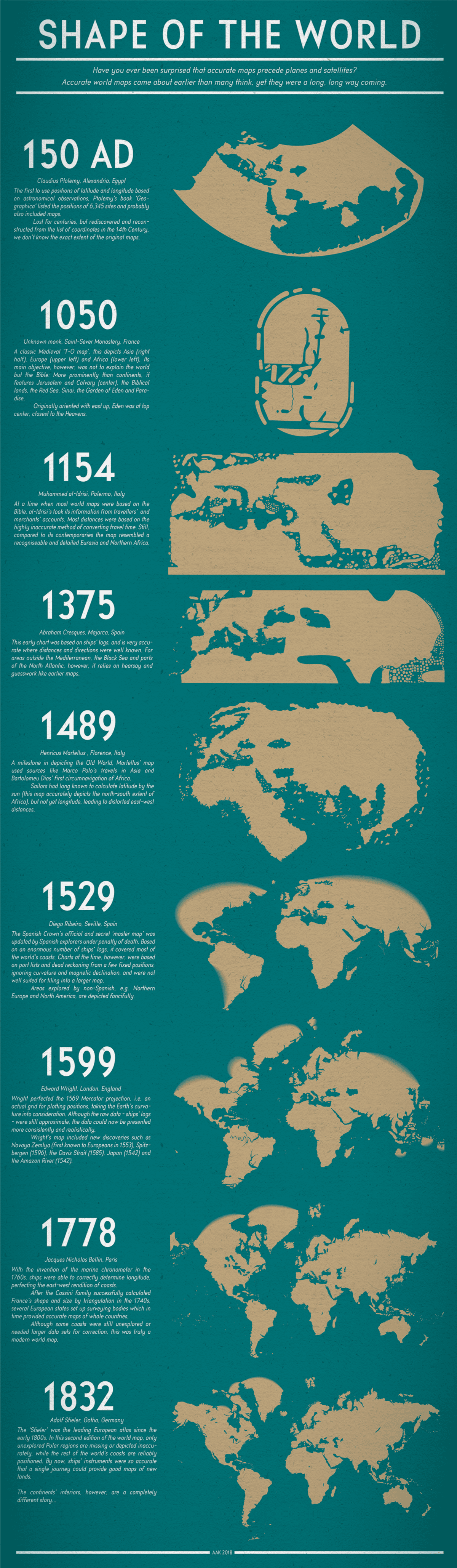
Around 150 CE, Ptolemy formalized the grid of latitude and longitude to mark locations using coordinates, a system that was easily reproducible when replicating maps.
In 1569, Gerardus Mercator's map, known as the Mercator projection, proportioned the world map so that curved paths around the surface of the Earth, such as from Europe to the Americas, would appear straight, allowing navigators to maintain a constant orientation as they traveled across the ocean.
Meractor's map distorts landmasses and bodies of water more strongly the farther they are from the equator, such as making Greenland look as big as Africa, even though it's 14 times smaller.
The Goode homolosine projection, developed by John Paul Goode and known as the orange peel map, provides accurate landmass sizes with minimal distortion, but its gaps make determining routes and legibility difficult—advantages and disadvantages that are even more stark in the Dymaxion map projection from Buckminster Fuller.
One of the most accurate maps is the AuthaGraph, created by Hajime Narukawa, which provides accurate land and sea proportions in a rectangular form factor by splitting the globe into 96 triangles, mapping them onto a tetrahedron, and then flattening it, at the cost of warped directions.
Similar Posts
Showing 1440 posts similar to “No map of the Earth is perfect because each introduces inaccuracies in the shape, size, or orientation of landmasses and oceans by trying to flatten the planet's curved surface.”











You've reached the end.