Back

Posted by

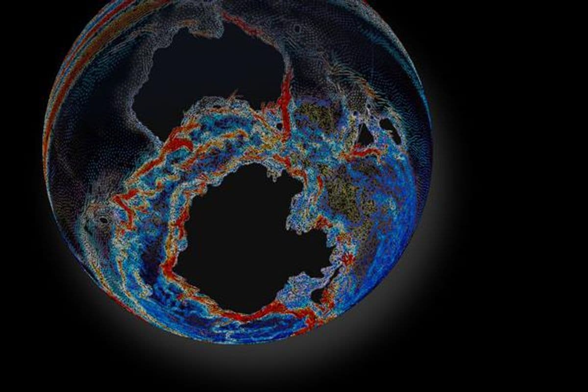
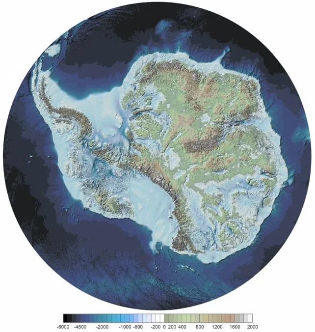
The British Antarctic Survey created a map of what Antarctica would look like if it lost all 27 million cubic kilometers (6.5 million cubic miles) of its ice—enough to fill almost 6,500 Grand Canyons.
Findings

Additional insights we found via ScienceAlert

  1. The iceless map of Antarctica, called Bedmap3, was created using 82 million data points from 277 ice thickness surveys.
  2. The location with the thickest ice in Antarctica is located at 76.052 degrees South, 118.378 degrees East, and spans 4,757 meters (15,607 feet).

  3. The average thickness of ice in Antarctica, including floating ice shelves, is 1,948 meters (6,391 feet), and if all of Antarctica's ice were to melt, sea levels would rise by 58 meters (190 feet).

Similar Posts

Showing 1440 posts similar to The British Antarctic Survey created a map of what Antarctica would look like if it lost all 27 million cubic kilometers (6.5 million cubic miles) of its ice—enough to fill almost 6,500 Grand Canyons.

You've reached the end.