Posted by
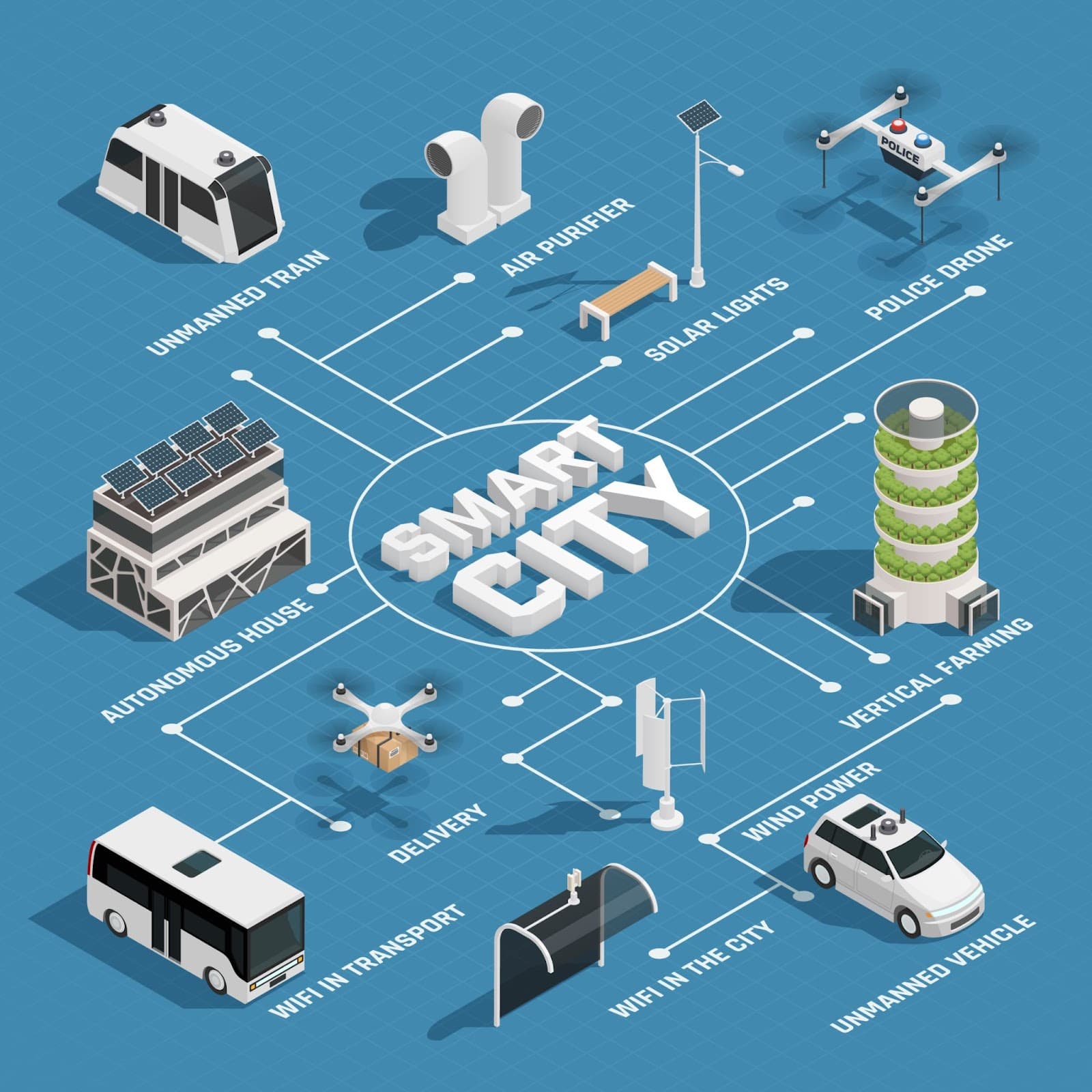
Digital twins create real-time 3D models of smart cities
These re-creations allow city planners to track changes and manage infrastructure more easily by testing strategies in virtual environments. Geospatial technologies, such as mobile mapping and satellite imaging, help cities assess urban layouts, plan for disasters, and manage resources more efficiently.
Similar Posts
Here’s what we found related to above. Click through to dive even deeper.













You've reached the end.